 Login
Loginavalanche technology
One of the downsides of having written here for six years now is that my messy, ever-growing text file of topics for future articles contains a bunch of ideas that have been there for about six years. Part of the problem is that I just have to scroll so far up to even see them now, part of it is that some of them are on topics where I do not feel equipped to write a good formal treatment. So let's consider this an easy, breezy episode of Computers Are Bad as I knock out one of those items.
One of these O. G. topics, line three, is "avalanche technology." I will admit that I am a little fuzzy on what this originally meant, but I have a few good guesses. First, though, let's just take a step back and talk a little bit about the practicalities of the avalanche. For a lot of you, avalanches are probably a pretty abstract issue.
For me, as well—I snowboard but I'm not that good at it, and the kind of mid-tier ski area where you will find me tumbling down the hill (Ski Santa Fe, towards Totemoff's) manages their slopes to avoid the potential for avalanche as much as possible. This requires some expertise in avalanche risks and it's never quite perfect, but it's pretty good. Snow that is regularly groomed by machines like PistenBullys will become coherently packed such that avalanches can't really propagate. The bigger risk on groomed ski slopes generally comes from up above, and here in New Mexico our mountains are of such a height that we're usually starting down from the very top anyway.
Still, avalanches pose a real hazard. The Department of Homeland Security, when it can be distracted from terrorizing well-meaning migrants, tells us that avalanches claim about 28 lives each year in the United States. Globally, the number is much larger, and avalanche fatalities seem to be generally more common in Europe. I'm not sure if that reflects European weather, geography, or recreation habits more, but it's the way things pan out and means that Northern Europe tends to be the center of avalanche technology (as it is in alpine technology in general).
We tend to associate avalanche hazard most of all with recreation, and that's definitely fair: the highest risk of avalanche probably comes about in cross-country skiing, where it's fairly common to traverse the lower part of slopes that have otherwise received very little disturbance. Most avalanches occur during storms, as the snow falls and piles up, which is of course not when recreationists are most likely to be present. You can't rely on this, though. One of the ways that an avalanche can initiate is when lots of snow is piled up on a slope on a nice sunny day—good recreation conditions! Various things like water following the ground or stratigraphic layers of different types of snow from different storms can create a condition of uneven melting. Snow that is under the surface might liquefy faster than snow that is closer to the surface. This "detaches" the upper level of snow from the ground, and when it happens over a wide area, that upper level of snow can let loose all at once. This type of avalanche is relatively rare, but they happen without warning in otherwise good weather, so it's much more likely that people will be caught. Further complicating the situation, the proximity of people can be a factor in initiating these avalanches.
Here in the Mountain States, though, avalanche risk often manifests in another context: transportation. As Americans, cars and highways are among our most esteemed achievements, and decades of engineering accomplishment allows us to drive through, over, and even under much of the Rocky Mountains even during the winter. Landscape modifications, chemical measures, and the brute force of snowplows keep roadways clear—but not the slopes above them. Avalanches cascading down onto highways are a major concern in the Mountain States, especially Colorado which has the most impressive set of mountains and mountainous highways.
Forecasting
Some of the things, then, that we might call "avalanche technology" are the techniques used to prevent, mitigate, and warn of potential avalanche. Much of the work is institutional. On the recreational front, this falls mostly with the US Forest Service's National Avalanche Center and a loose confederation of regional organizations such as our own Taos Avalanche Center, here in New Mexico. One of the main functions of these organizations is education: posting warning signs, spreading awareness, offering training courses and materials, and so on. They also tend to employ avalanche specialists, who use a combination of meteorology and specialized snow observations to determine when avalanches are most likely. This can lead to posting warnings or closing areas entirely.
Avalanche specialists in the recreational field are, in this area, joined by a substantial cadre of avalanche specialists employed by state Departments of Transportation. They apply the same techniques with an eye towards avalanches that could affect mountain pass highways. Those highways may be closed in extreme circumstances, but in transportation even more than in recreation it is common to use, shall we say, "active measures" to prevent avalanches. We will discuss this later, but first, let's briefly talk about how avalanche hazards are forecast.
I am not going to go into much detail here, because I frankly do not know much about it, but I do want to touch on a couple of things that are solidly in my wheelhouse. One of these is SNOTEL. Forecasting avalanche risk requires a solid understanding of the general amount of snowpack in the mountains, which can be very tricky to acquire since when snow is heavy getting up there to take measurements becomes a very time-consuming and potentially hazardous venture.
Avalanche forecasting is just one of many functions served by the SNOTEL or Snow Telemetry system, a 1960s-era network of hundreds of sensor sites throughout mountainous parts of the United States. SNOTEL was originally designed to help with forecasting spring meltwater flows, which is why it falls under the aegis of the Department of Agriculture, but as with any good sensor network there are now a lot of different stakeholders.
The tricky thing about SNOTEL, and remember here that it dates back 60 years, is the snow. SNOTEL sites are way up there, inaccessible during winter, so they are designed to be installed and serviced during summer and to operate autonomously until the next summer. SNOTEL instruments are solar powered, but more interesting are the communications arrangements. The initiation of the SNOTEL project predates a robust set of earth observation satellites, to say nothing of cellular or other digital radio networks. But the whole purpose of SNOTEL is to provide snowpack data when the snow is still there, so real-time reporting is critical.
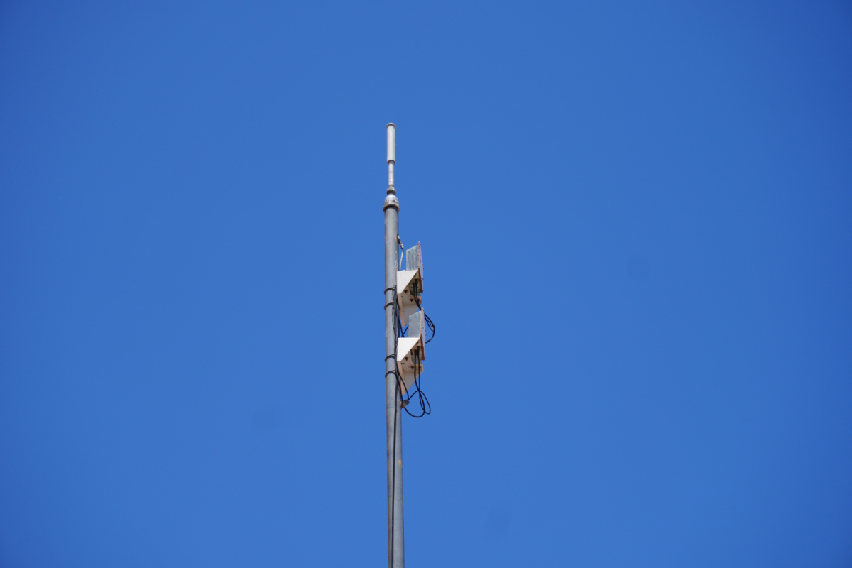
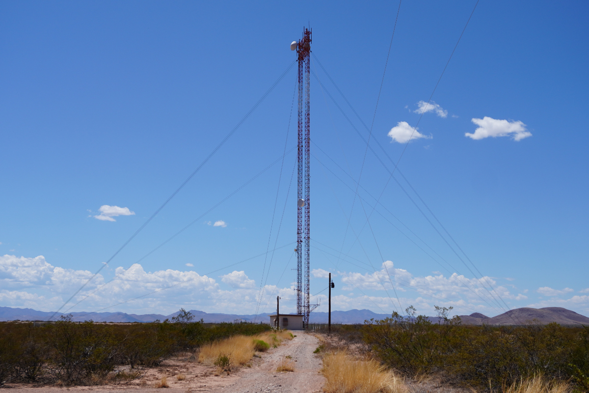
SNOTEL was thus one of the first applications of meteor scatter, a fascinating form of radio communication that will probably get its whole own article one day. Here is the summary: SNOTEL data collection sites, in convenient locations like towns, transmit a VHF carrier or "pilot" signal up towards the sky. Occasionally, but more often than you would think, a meteor enters the Earth's atmosphere and burns up, leaving a trail of ionized gas behind it. This ionized gas is, if you remember previous discussion of troposcatter, reflective to RF energy. Some of the "pilot" signal is thus scattered back down towards earth. When a SNOTEL site receives the pilot signal, it knows that a meteor has just entered the atmosphere and this scattering is happening, so it quickly transmits a data packet towards the sky. Ideally, this data packet is reflected by the same meteor trail such that the data collection site can receive it. If this all sounds rather stochastic and chancey, it is, but enough meteors enter the atmosphere and data packets can be sent quickly enough (and tried multiple times) that it works pretty reliably for low-bandwidth telemetry data.
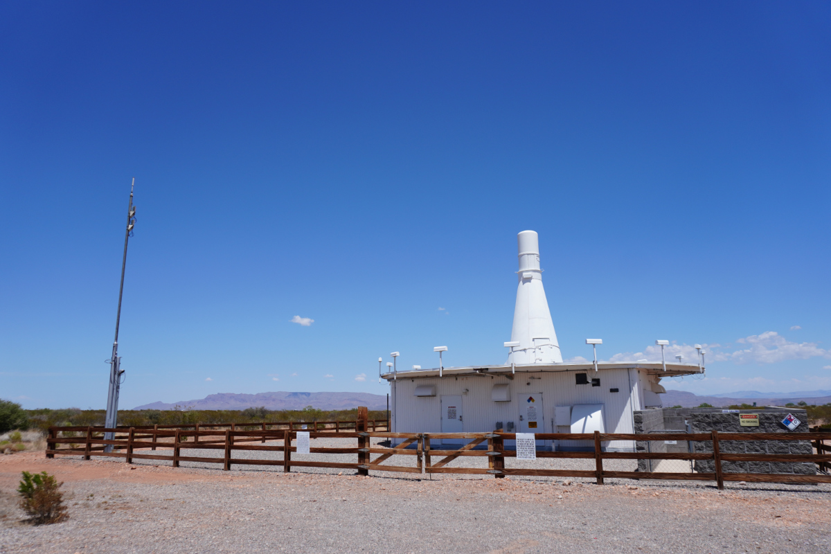
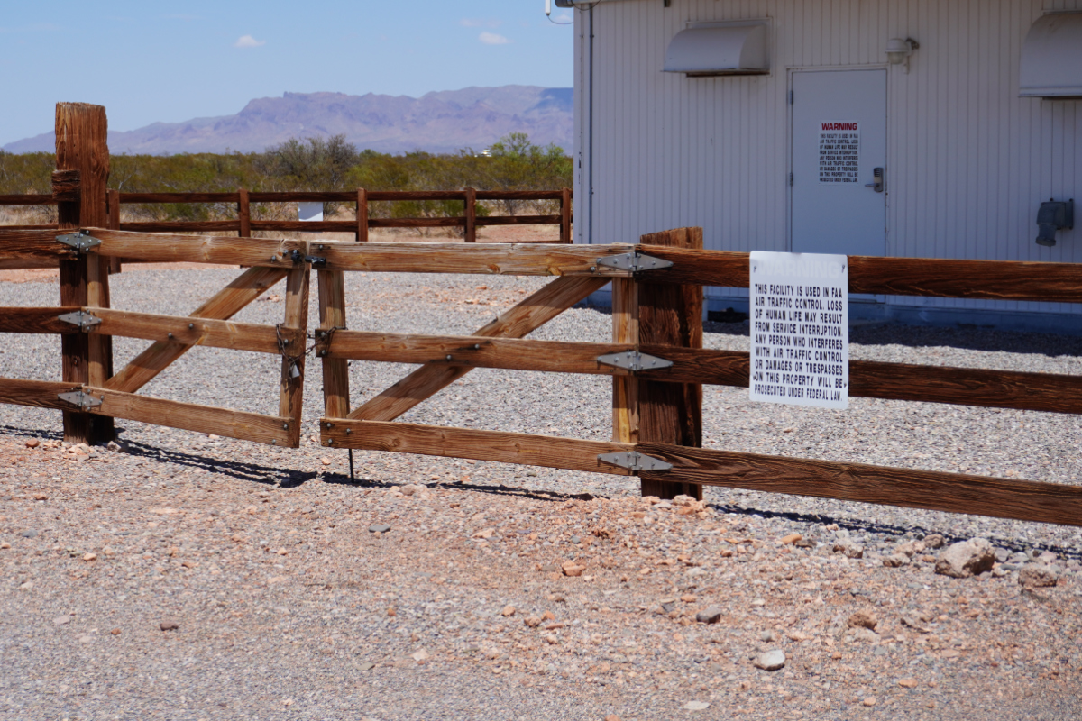
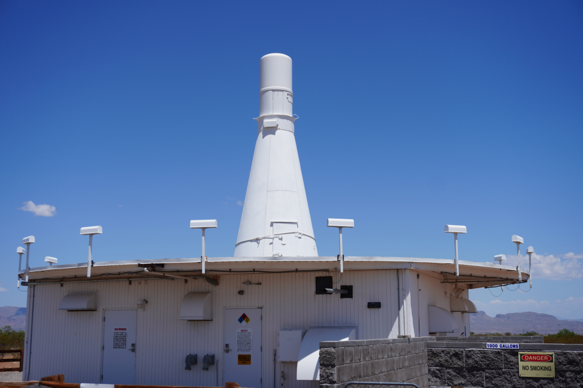
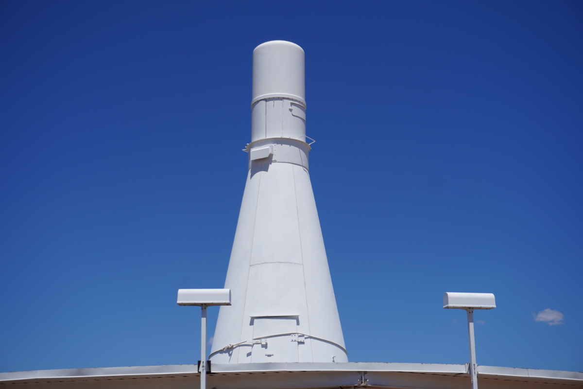
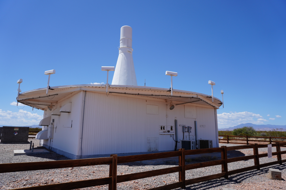
Unfortunately, as interesting as meteor scatter is, it's mostly been obsoleted by general technological advances in radio communications. SNOTEL was probably the largest meteor scatter network in the world1, but is no longer: all SNOTEL sites now use other means of reporting data. The most common is probably the generic data collection capability of GOES, NOAA's main fleet of "weather satellites." GOES satellites actually serve many purposes related to earth observation, and one of them is telemetry collection from instruments on the ground. If you've ever come across a USGS stream gauging station or another mysterious hut in the middle of the woods with a cylindrical or conical antenna pointed at the sky, it's transmitting data upwards for reception by a GOES satellite. The GOES earth segment collects all of the little data packets the satellites receive into files which are distributed to the various organizations that report data this way. If you are so inclined, you can also receive this data yourself as the satellites rebroadcast it in batches, but most users don't bother since NOAA will do that part for you.
Even that might be fading away: newer SNOTEL sites apparently use the cellular network for data reporting, unless it's not possible to get a signal, but that's becoming less common over time even in the Colorado mountains. The major benefit here is that the cellular network is low latency and very high bandwidth, which makes it feasible for example to view cameras installed at the SNOTEL sites.
With the data part discussed, let's take a quick second look at the data collected. Temperature, humidity, pressure, wind, liquid precipitation are all measured as usual, but SNOTEL adds a couple of specialty features. Soil moisture and evapotranspiration (basically evaporation rate of water from soil) sensors provide more data on how saturated the ground is, an ultrasonic or optical instrument pointed down from atop a post measures how deep the snowpack is, and a funny looking contraption called a snow pillow takes perhaps the most important measurement. The snow pillow is basically a big rubber balloon that gets inflated on the ground, and then covered with snow. By measuring the air pressure from the snow pillow, the SNOTEL station effectively weighs the snowpack, which combined with its height gives the density or water content of the snow. This varies widely depending on the specific weather when the snow falls, and remember that stratigraphic differences in density are one of the factors that's important in the likelihood of a surprise avalanche, so collecting this water content information as snow falls allows forecasters to remotely estimate whether or not the snow conditions are hazardous.
That is, of course, supplemented by good old fashioned techniques like sending out avalanche specialists with shovels and meter sticks to take a look at the snow themselves. DOTs often have technicians doing a regular tour of mountain pass sites, where they curate plastic tubs and boxes of snow from various storms so that they can get a hands-on impression of what the different layers under the snowpack are like. They also take samples to weigh, perform some tests to measure mechanical properties of the snow, there's basically a whole bag of tricks, but ultimately there is also a subjective element of how "good" or "bad" things look. This is born of experience and is one of many reasons to value our state employees.
Mitigation
Within the recreational context, one common approach to mitigation is simply to avoid the area. Especially for backcountry skiing areas, avalanche centers might post warnings or work with the operator to close the area entirely when forecasting shows that conditions are favorable for an avalanche. Warnings might be more useful than you think, since besides reducing the number of people in the area they should also prime people to recognize particularly risky slopes or signs of snow that is becoming unstable. Avalanches can occur without any surface signs of instability, but in practice there often are some signs, so of course keeping an eye out is better than nothing. Warnings also make people more likely to carry safety equipment, discussed later, which improves the chance of self-rescue if things really do go wrong.
But there are also, shall we say, kinetic options. Many of the methods of modern alpinism evolved during the Second World War, and so did a good portion of the mitigation equipment. Once snow becomes unstable enough that an avalanche could occur, it is basically waiting for something to set it off. Popular media concepts that loud noises will trigger avalanches are, well, fictional, but the point stands that people moving around or especially operating vehicles can trigger avalanches, as can basically random happenstance. You can mitigate the risk of an avalanche by going to unstable areas and intentionally triggering them, or at least trying to, basically the same way that a bomb squad might handle an unstable explosive by exploding it. Better that it go off when you expect it than when you don't.
A classic method, still in some use today, is repurposed artillery. State DOTs and ski area operators own a surprisingly large inventory of M101 Howitzers, a 105mm artillery gun that dates more or less to a 1910s German design but was widely fielded by the US during the Second World War. The avalanche application is simple: when you find a slope with unstable conditions that could pose a hazard, you shoot at it. The concussion from the impact, and often from an explosive round, puts a lot of pressure on the snow that will likely break it loose if it's possible to do so. You just have to make sure you set up outside of the resulting avalanche.
The main problem with this method, which everyone agrees is a whole lot of fun, is that the M101 has not been manufactured since 1953 and, in general, the supply of cheap Army-surplus artillery has dried up. The Howitzers are aging out, and other methods are replacing them. Some of these are similarly dynamic: dropping small improvised bombs from helicopters, for example, which is a very common method in Colorado today. Even just hovering a helicopter over a slope can sometimes trigger an avalanche, although a bit of dynamite makes this a lot more reliable. If you have noticed the surfeit of high-explosives bunkers and unexploded ordnance warnings in some parts of the Colorado mountains, well, now you know why. It can feel a little bit like a very slow-running war.
Even these methods are being replaced by more modern and cost-effective ones, though. A French alpine engineering company called MND manufactures a system called Gazex, which is a bit like an airport bird canon on steroids. Gazex units are pre-installed in avalanche risk areas (by helicopter, for example), and then, under remote control, they mix oxygen and a combustible gas and set it off in a big tube pointed at the ground. The force created is similar to an explosion, but the whole thing is easier to handle (since it uses gas cylinders rather than high explosives) and remote control makes everything cheaper for the operators. MND recently introduced a new version of the system called O'bellx (I assume this reads better in French), which is even more portable, albeit comically egg-shaped. This seems to be catching on with ski areas, and MND also emphasizes that the portable design and low-impact installation makes it suitable for areas like national parks with acute natural preservation concerns. Basically, you can remove them at the end of every winter, so that you aren't leaving equipment scattered around your beautiful mountains.
There are also a number of other mitigation approaches that are less fun, so I will devote less attention to them, but you can find them done around here. Structures similar to snow fences, built high up on a slope, provide an "anchor" for the snow that prevents it coming loose enough for an avalanche. There are many variations on this idea, for example using steel cables supporting nets. Another approach is to permit the avalanches to start but prevent them from reaching areas where they cause harm, either by building wall or dam-like structures (I do not believe this is common in the US as I am not aware of any examples) or by putting corridors like highways inside of "snow sheds" that are sturdy enough to allow the avalanche to simply flow over. This latter method is much more common in Europe than here, but you can find some examples on US railroads, which are often in more difficult terrain than highways.
Warning
One of the more interesting developments in avalanche technology are warning systems. Avalanches wouldn't pose much hazard if people knew that they were coming; what makes melt-triggered avalanches so dangerous is that they can be very unexpected. One of the methods that avalanche safety courses teach is to recognize signs of snow masses that have already started to slide, shift, or collapse on themselves. This would indicate that conditions are favorable for an avalanche and that disturbing or going below the snow is quite dangerous. The usual surface signs are cracks, caused by the snow starting to slide apart, but these cracks can be tricky to see even when they are present.
Another indication of avalanche potential is subsidence, or the snow surface starting to drop in level, or any motion of the snow surface downslope. These effects can start minutes or hours before the real avalanche occurs, but they are subtle and often slow, so humans are unlikely to notice them. Fortunately, machines are well adapted to this task. Several vendors offer radar systems that monitor snow slopes for any shifting, and can sound a siren or another alert if things start to move. Like earthquake warning, the actual lead time provided by these systems is not very well known and could be quite short, but something is better than nothing.
Other technologies, like LIDAR and acoustics (e.g. geophones), can be applied to a similar task. I have even heard of older systems that used thin wires or brittle metal bars embedded in the snow, as part of an electrical circuit that would break if the snow started to move 2. Such systems can be quite sophisticated, and MND's sales materials suggest things like closing gates on highways when an avalanche is detected. The current state of the art in radar detection uses pulsed Doppler operation, which can be very sensitive to movement in all kinds of directions. All that said, these don't seem to be popular in the US. I couldn't readily find any installations in this country.
As a final note on this topic, national alerting systems like NAWAS and the Emergency Alert System have defined message types for avalanche warnings. In practice, these are very rare, as it doesn't usually make sense from a time or area perspective to put out an avalanche warning through mass media channels. That said, they do happen, usually on the (fortunately rare) occasion that forecasters predict a high risk of avalanche in a town or other populated area. In that case, the procedure is to evacuate the town, and that's exactly the kind of situation that NAWAS/EAS/NWS All Hazards/etc. are intended for.
Rescue
And finally, we reach the topic that I believe led me to put "avalanche technology" on the list to begin with: technical aids to rescue. Avalanches are, in a certain sense, not that dangerous. They can move at formidable speeds (60+ miles per hour often reported), but snow is relatively soft and low-density. Injury from being crushed or striking against something is certainly a possibility, but the bigger hazard of avalanche is usually when you become buried.
If you are buried in snow, and there are no rescuers or they cannot find you, it can be extremely difficult to work your way out and you are likely to succumb to some combination of asphyiation, exhaustion, and hypothermia in the process. That might sound silly but keep in mind that you have just been buried by an avalanche, probably have a variety of minor injuries, have become disoriented, etc., and you try to dig yourself out of feet of snow in that situation. You really need someone on the surface to come help you out. That's why standard avalanche safety equipment includes a probe and a shovel—a probe for finding people (just a metal rod you use to poke under the snow, basically), and a shovel for getting to them.
The problem is that probing a large area of snow is a very slow process, and even if you were right next to someone before an avalanche, you probably don't know where they ended up afterwards. This is an area where radio technology can be extremely helpful.
The concept of avalanche beacons or avalanche transponders dates back to at least 1968. Dr. John Lawton was an engineer at an aerospace research lab now known as the Calspan Corporation, where he worked on a variety of interesting aviation problems ranging from weapons targeting to meteorological research. Lawton was quite an aviation enthusiast, making the news in 2013 for celebrating his 90th birthday by flying his Cessna Skyhawk over the US-Canada border 90 times. That's a bit of a peculiar way to entertain yourself, but anyone who is still flying themselves around at 90 has clearly found a way to stay vital. His lifelong investment in aviation is emphasized by the fact that he started his winding cross-border journey at the airport he owned.
What is not so well documented is his interest in alpinism, but he must have had some affection for the mountains. He did some kind of research work in Europe related to triggering avalanches by dropping explosives from light aircraft, and whether that put the topic on his mind or something else, he also came up with the first commercial avalanche beacon. Commercialized by his company Lawtronics, the "Skadi" transmitted a tone at 2.275 kHz. Groups of people traveling in the mountains could each carry a Skadi unit, and if anyone was lost in an avalanche, any of the other units could be switched to a receive mode and the person located by simple amplitude search. That is, walking around the snow until you find the spot where the tone comes in the loudest, at which you point you start probing and digging.
This same method is still used today, although the radio system has been standardized at 457 kHz. Modern avalanche rescue systems like the "Barryvox" from Mammut or the Black Diamond Recon X are direct descendants of Lawton's Skadi device, using 457 kHz and digital direction finding techniques (like the use of multiple perpendicular directional antennas to compute a likely heading to target) to speed things up and make radiolocation more user friendly. Because the 457 kHz system is an international standard, they ought to work about the same regardless of manufacturer. That's important in real-world scenarios where the people doing the rescuing might be from a whole different group than the one affected by the avalanche.
Modern avalanche beacons are probably one of the closest real-world products to the way that "radio beacons" tend to work in movies and videogames. The reality is of course messier, especially if there are multiple victims, but in principle a digital avalanche beacon in receive mode can show an arrow on screen that you follow until you are standing on top of the buried person. You know if you're getting closer when they beep more. Neat.
Technological development continues apace, and some newer avalanche beacons also support a second protocol called W-Link. W-Link is actually surprisingly poorly documented, presumably because it appears to be proprietary to Mammut (the only non-Mammut beacons that support it seem to have been joint venture projects with Mammut). W-Link is a digital protocol that operates in the ISM band, introducing the downside that ISM bands are not internationally standardized. This means that US and European-market beacons will always be compatible for conventional 457 kHz operation, but two beacons with W-Link support may not be able to use that protocol if they were sold for different regulatory markets.
The upside of W-Link is that the digital protocol lets the beacon send significantly more information. This includes a unique serial number for the beacon, which allows the receiver to discriminate between pulses being received from two or more beacons at the same time—a radical improvement in the ease of locating multiple people, as conventional direction finding techniques really struggle when you cannot discriminate between multiple targets. You can end up with a "swinging needle," while the W-Link devices are capable of locking to a single target at a time. As this implies, you can also determine how many people are buried, and ignore beacons that turn out to be unimportant (because they are discarded on the surface, or carried by a rescuer, etc).
Perhaps the most interesting feature of W-Link is that some W-Link beacons will use an accelerometer to detect motion, and report whether or not any motion is present. In theory, this allows rescuers to prioritize their efforts by focusing on beacons that report motion, meaning that they are carried by people who are still alive. These enhanced capabilities of W-Link seem to have led to enough controversy that the Wikipedia article devotes much of its length to ethics discussions, and manufacturers have put out position papers on their decisions to implement or not implement certain W-Link features. The concern is that W-Link may give rescuers more information on which to prioritize rescue in a discriminatory way, perhaps by searching for victims with (more expensive) W-Link beacons before less expensive conventional beacons, or by using knowledge of W-Link serial numbers to prioritize the search for specific people.
In practice, I think these ethical concerns are more theoretical than actual, because penetration of W-Link technology doesn't seem all that high and most actual beacons only implement the very most basic features. The ability to display the serial numbers of individual beacons, for example, is pretty much limited to a USB dongle/software package that Mammut sells to organizations like ski patrols that loan out avalanche beacons and need to keep track of their inventory, check battery levels, etc.
Avalanche beacons are not the only radio-based approach to avalanche rescue. Around a decade after Lawton developed Skadi, a Swiss engineer designed a system called RECCO. If you have read my articles on loss prevention, I can succinctly explain RECCO by saying that it is just RF electronic article surveillance applied to the outdoors. If you have not, let's get into a little bit more detail.
I put a lot of time into writing this, and I hope that you enjoy reading it. If you can spare a few dollars, consider supporting me on ko-fi. You'll receive an occasional extra, subscribers-only post, and defray the costs of providing artisanal, hand-built world wide web directly from Albuquerque, New Mexico.
If you make an antenna that is a small loop, and then put a nonlinear device like a p-n diode in it, you end up with an antenna that behaves asymmetrically with regards to the phase of the radio wave passing over it. Intuitively, we can say that energy freely flows one way around the antenna, but not the other. The energy going that way becomes trapped, and gets re-emitted at at a harmonic frequency to the one that excited the device. This general principle is known as non-linear junction detection, and it has all kinds of interesting applications in fields like technical security, but its most common application is as one of the common types of retail anti-theft tagging.
RECCO is basically a retail loss prevention system aimed at the ground. RECCO tags, called "reflectors" in RECCO parlance, are a simple foil antenna and diode, which makes them cheap and durable. They are so cheap, and compact, that some brands of alpine gear (especially in Europe) build RECCO tags right into products like snow pants and ski boots. Dainese even offers a bicycle helmet with one. The RECCO detector emits a powerful and very directional RF field in an ISM band, and then monitors for the characteristic harmonics emitted by an excited tag.
This technology is not RFID, although it is conceptually similar, and has some of the same downsides such as a tendency for tags to be undetectable if they fall in the wrong point in the phase of the exciting field. For that reason, RECCO recommends that you have two reflectors at different locations on your person. The other main downside of RECCO is that it shifts most of the complexity into the detector, so they are relatively large and expensive. That's not so bad when you consider that detectors only need to be carried by ski patrol and SAR organizations. Rescuers basically aim the detector around until it picks up a signal, and then walk that way until they are aiming the detector straight down. That's where they dig.
RECCO has even designed a detector that can be underslung by a helicopter, although its 100 meter range will require some sporty flying. The RECCO system is generally much more popular in Europe than in the US, but penetration is increasing here, and RECCO publishes a list of SAR organizations with detectors that now includes a number of helicopters in the US and many major ski areas.
I view RECCO as having a bit of a belt-and-suspenders relationship with traditional avalanche beacons. Avalanche beacons are more common, and all beacons also function as receivers, so "buddy rescue" by a bystander is far more likely with beacon technology. On the other hand, RECCO is usable over a longer range (although not radically longer) and the detectors are more directional and potentially faster to use. Most avalanche centers seem to recommend that you carry both, although the traditional avalanche beacon is more important.
Finally, let's consider a couple of other pieces of avalanche safety equipment, which will lead us to consider efficacy.
The core avalanche PPE consists of a probe and a shovel, and both are available in collapsible form for portability. Besides locating technologies, though, the major innovation in avalanche safety is the avalanche airbag. These are backpacks that you wear with a parachute-like ripcord. When you pull it, the bag inflates into a big airbag behind you. There are two ways this is helpful: first, the airbag will tend to float on moving snow, making it less likely that you are buried. Second, if you do become buried, you can deflate the airbag to leave you with a void in the snow. This gives you more air to breath, and room to move, making it more likely that you can dig yourself out.
Avalanche airbags remind me a bit of the motorcycle airbags, as far as being very cutting-edge but also, you know, kind of questionable when it comes to efficacy. Manufacturers of airbags often advertise a 50% reduction in fatalities, but we have to take those numbers with a grain of salt.
One of the problems with safety technology for extreme risks is that the actual risk event just doesn't happen very often. In less abstract terms, people are not caught in avalanches all that often, so the total number of people who have been caught in an avalanche while wearing an avalanche airbag just isn't that big. This limits the confidence we can have in efficacy findings.
Well, I tracked down the paper that the 50% number comes from, and it's not actually that bad. They identified 424 people caught in severe avalanches, roughly half of which had avalanche airbags, and found that the airbags reduced mortality by 50% for people who successfully deployed them, and 41% overall given that there were various situations where they were not triggered or failed. The sample size is not huge, but it's bigger than I expected, and even at the bottom of the 95% confidence interval you still see a meaningful mortality reduction of around 10%.
So, avalanche airbags seem to work, but they do cost around $1,500, so make of that what you will. Another interesting number from that paper is actually a bit of an aside: of the sample of people considered, 99% had avalanche beacons! A basic avalanche beacon can be had for about $250, which is pretty similar to cheap satellite messenger or very basic PLB 3.
On the other hand, the passive nature of RECCO tags translates to a price advantage: a standalone reflector that you can clip to your pack only costs $30, which frankly still feels like a ripoff considering the simplicity of the design. I wonder if a RECCO detector would pick up enough RF EAS tags sewn into your clothing. Or shoplifted. One of the amusing things, though, is that despite being the cheap option (or perhaps beacuse of it), RECCO is relatively poorly backed by data. The number of actual rescues using RECCO remains small, although the development of the helicopter-based detector will probably lead to more successful uses.
Or, you know, just stay out of the mountains. They may be calling, but you don't have to go.
-
Researching SNOTEL's history starts getting you into military R&D reports and formerly classified documents pretty quickly, and it's clear that both the US and other militaries have used meteor scatter for communications in the past. Possibly they still do today. If I were to place a wager, I'd say that SNOTEL is likely smaller than or on par with the military network that its equipment seems to have been adapted from. Unfortunately there is very little information in public about this military application (one of the reasons to suspect that meteor scatter is still relevant in the military context), so I can only speculate.↩
-
This is at least vaguely similar to a common safety device employed on the towers of ski lifts, where a brittle metal bar is placed under the sheaves that support the rope. The lift's safety loop is passed through the bar. If the lift badly deropes at the tower (that is, the cable falls off of the sheaves), it falls on the bar, snapping it. That interrupts the loop of wire that runs from the drive end to the opposite end and back, which shuts off the motor and releases magnetic brakes.↩
-
PLBs, or Portable Locator Beacons, are beacons made specifically for detection by the COSPAS-SARSAT satellite constellation. They are probably the gold standard in general search and rescue technology, and since they rely on a system operated as an international joint venture there are no service fees or subscriptions involved. Oddly, though, PLBs are actually pretty expensive. Here's the reason: authorities that mandate PLBs in various situations (e.g. the Coast Guard) have also specified rather exacting standards for service life, waterproofing, shock resistance, etc. This has the counter-intuitive result that two-way satellite messengers like Spot X or Garmin InReach can actually be cheaper to buy, but you will have to pay a service fee, and they are unlikely to survive the kind of "plane crash/sinking boat/car wreck" physical abuse that PLBs are tested for. As successive generations of more sophisticated COSPAS-SARSAT satellite payloads have launched, the system has also become very reliable, and in most circumstances PLBs are more likely to work than other types of satellite communicators. What I'm saying is that if you recreate in the middle of nowhere, you should consider buying a PLB, even though a good one can cost $500. At a five year rated lifespan, that's cheaper than a Spot or InReach plan even without the hardware purchase.↩